Vietnamese scenery-Vietname
About Vietnam:
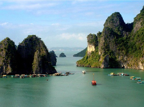
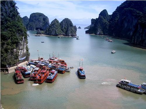
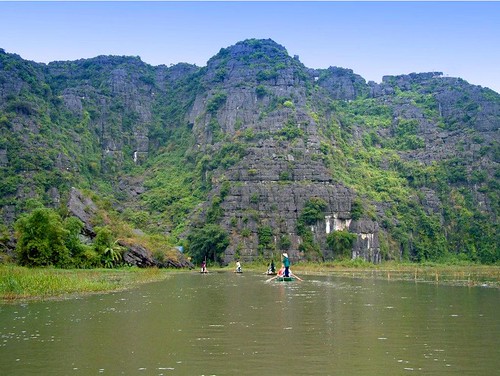
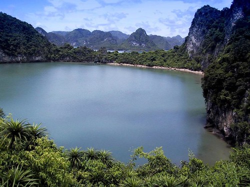
Physical geography: 329,500 square kilometers. North borders on with China, west and Laos, the Cambodian border, the east side and south side is near the South China Sea, the coastline long more than 3260 kilometers. The Vietnamese terrain is long and narrow, the north and south long 1600 kilometers, the thing most is narrow place is 50 kilometers. West the Vietnamese topography Gao Dongdi, within the boundaries 3/4 are the mountainous region and the plateau. The north and northeast part is the mountain and the plateau. Middle Changshan sierra north-south north and south. The main rivers have the northern Red River, south Mekong River. Red River and the Mekong River delta area is a plain. South of the Vietnamese nation attendance Tropic of Cancer, the high temperature rain, is the tropical monsoon climate. Annual mean temperature 24℃ about. The mean annual precipitation is 1500-2000 millimeters. North minute spring, summer, fall, winter four seasons. The south rain dry two seasons are distinct, most districts May to October will be the rainy season, November to next year April are the dry seasons.
Population: more than 8400 ten thousand
Capital: Ha Noi
View Laos
Scenery Photos at: http://lotpictures.blogspot.com/2012/01/laos-scenery-photos.html
View Thailand Scenery photos at: http://lotpictures.blogspot.com/2008/12/thailand.html
View Nepal Scenery photos at: http://lotpictures.blogspot.com/2008/12/nepal.html
View Thailand Scenery photos at: http://lotpictures.blogspot.com/2008/12/thailand.html
View Nepal Scenery photos at: http://lotpictures.blogspot.com/2008/12/nepal.html
View Philippine
Scenery photos at: http://lotpictures.blogspot.com/2008/12/pli.html


No comments:
Post a Comment