Mysterious Laos Pagoda Scenery foto-Special Laos Pagoda picture-old Pagoda in Laos


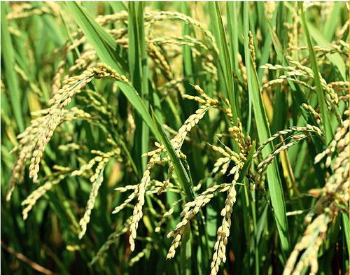
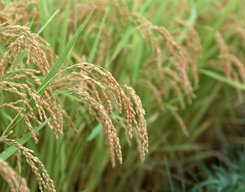
Laos is located in a landlocked country in northern Indochina. Laos is close to China, Vietnam, Thailand, Myanmar.Mekong River flows through the western 1900 km. Laos has a tropical, subtropical monsoon climate. May to October is the rainy season, November to April is the dry season. Laos The annual average temperature of about 26 ℃, annual precipitation is 1250 mm ~ 3750 mm. Lao People's belief in Theravada Buddhism is the last Southeast Asian countries, in 1975, Buddhism is the state religion.
Laos History:
Laos has a long history, was one of the most prosperous countries in Southeast Asia Laos in the year 1353 to establish the Kingdom of Lancang, which is the history of Laos heyday. Laos was gradually formed in the 1707-1713 reign of Luang Prabang, Vientiane and Champassak dynasty dynasty. 1779 to mid-19th century Siamese Laos gradually conquered. In 1893 Laos became French protectorate. In September 1940, Laos was occupied by Japan. In August 1945, the Lao People's armed uprising, October 12, 1945 declaration of independence, the establishment of the Yi Shala front. Wang Feng 1946 Western unity Laos, the establishment of the Kingdom of Laos, this is the first monarch to rule a unified Laos Laos.
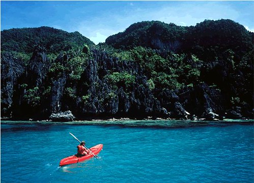
View Philippine Scenery photos at: http://lotpictures.blogspot.com/2008/12/pli.html
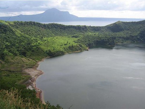
View Thailand Scenery photos at: http://lotpictures.blogspot.com/2008/12/thailand.html
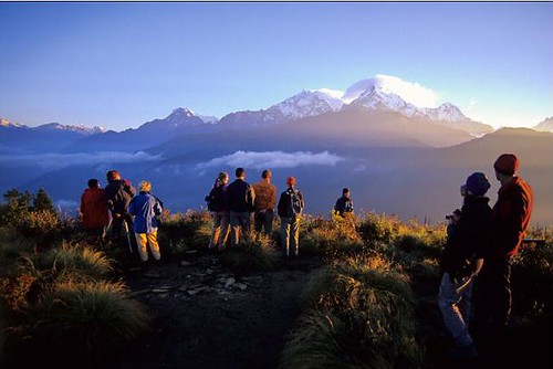
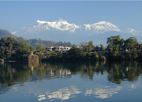
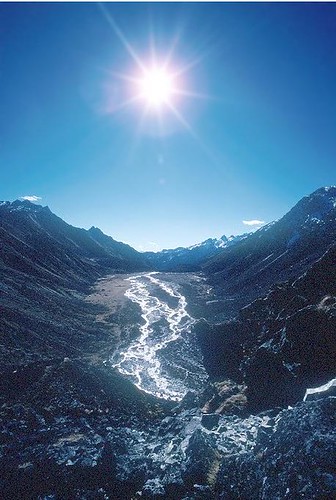
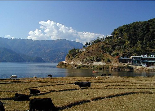
View Nepal Scenery photos at: http://lotpictures.blogspot.com/2008/12/nepal.html
View Vietnam Scenery Photos at: http://lotpictures.blogspot.com/2008/12/vit.html